Increasing demands on the effectiveness of geological and geophysical information management imply the continuous improvement of information support systems. A …


Increasing demands on the effectiveness of geological and geophysical information management imply the continuous improvement of information support systems. A …

Main Tasks Aerial photography, as an alternative to airborne and ground-based laser scanning and traditional terrestrial imaging Monitoring of forests, …

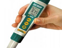
Measurements are carried out by the electrode method. It allows you to fix even a small amount of dissolved agents. …

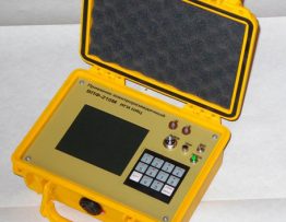
Electrical prospecting is a large group of geophysical methods for studying electromagnetic fields of various nature. The purpose of these …