Aerial photography became an important part of the mapmaking process in the twenty one century. Aerial photographs provide a straightforward …
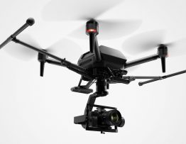
Aerial photography became an important part of the mapmaking process in the twenty one century. Aerial photographs provide a straightforward …
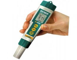
The CL 200 soluble chlorine monitor is a highly specialized device designed for regular assessment of water quality.
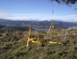
Powered by the enhanced RTK engine, Trimble R-Track™ technology in the Trimble R7 GNSS supports the GPS Modernization signals L2C …
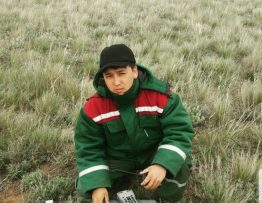
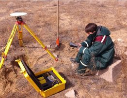
Electroprospecting (electrometry) is a branch of exploratory geophysics. Methods of electrical exploration are based on measuring the parameters of artificially …
Topography is a scientific discipline that studies methods of depicting the geographical and geometric elements of the terrain on the …
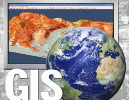
Increasing demands on the effectiveness of geological and geophysical information management imply the continuous improvement of information support systems. A …
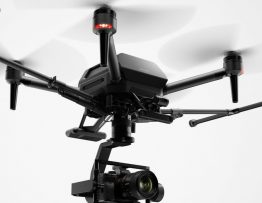
Main Tasks Aerial photography, as an alternative to airborne and ground-based laser scanning and traditional terrestrial imaging Monitoring of forests, …

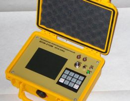
Measurements are carried out by the electrode method. It allows you to fix even a small amount of dissolved agents. …
Electrical prospecting is a large group of geophysical methods for studying electromagnetic fields of various nature. The purpose of these …
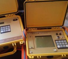
Electrical exploration measurements are carried out by meters of the VPF-210M type. Technical characteristics of the meter VPF-210M: Operating frequency …