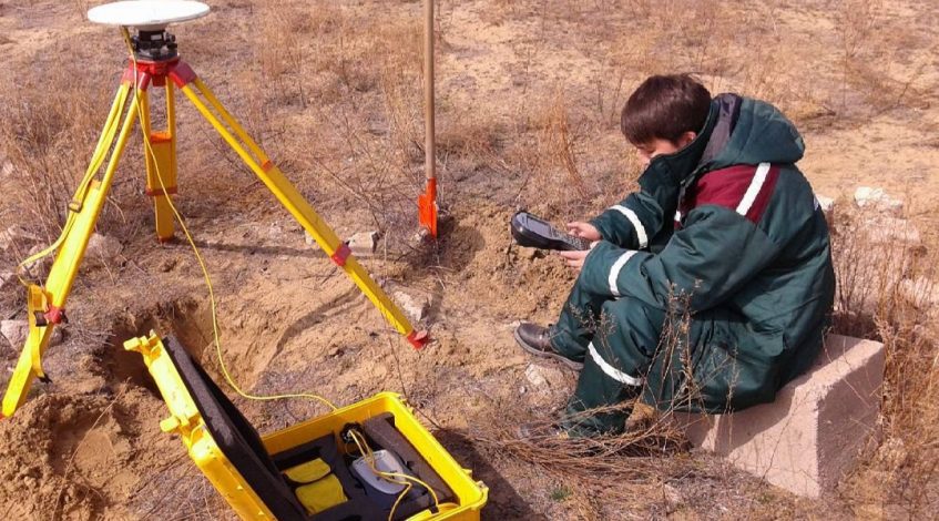
Topography is a scientific discipline that studies methods of depicting the geographical and geometric elements of the terrain on the basis of surveys and creating topographic maps and plans on their basis.
Topography is used mainly in such areas, the mapping of which is unprofitable by other means due to their small area or difficult in the nature of the territory (for example, mountainous or heavily rugged terrain).
The sphere of interests of topography includes the content of topographic maps, the methods of their compilation and updating, the issues of their accuracy and classification, as well as the extraction of various information about the terrain from them.
Topography is performed by Trimble R7 GNSS multi-frequency GNSS receivers complete with Trimble Zephyr Geodetic Model 2 GNSS antennas for the base station and Trimble Zephyr Model 2 for the mobile receiver.
Based on the results of the topography survey, carried out using DGPS RTK technology, a catalog of coordinates and heights of geophysical measurement points will be formed, a map of the terrain is being built
